I love hiking, but sometimes I just don’t love the getting ready, getting up early, heading out in the car etc. This sometimes means that although we plan to hike at the weekend, it can take a long time moving and therefore we lose the light especially in winter, or we need to find a shorter hike to do.
Talus Loop is one of those hikes. It is short, around 4 miles long; it is nearby, less than an hour; and it gives beautiful views!
We headed out to arrive at the trail around 11am, as we drove past the parking lots for Little Si and the overflow lot, I noticed the number of people walking along the road – this is not a good sign! It means the lots are busy and full, which in turn means the trail will be busy. We turned into the parking lot for Mount Si and it was a disaster zone. Cars were parked in any way they could, thankfully no one blocked others in! Mount Si is a well used trail, it is about 8 miles long, but with a lot of elevation. The Talus Loop is a right turn loop off of Mount Si. We drove around the lot twice, and thankfully found a spot! We weren’t entirely sure what to do if we hadn’t!
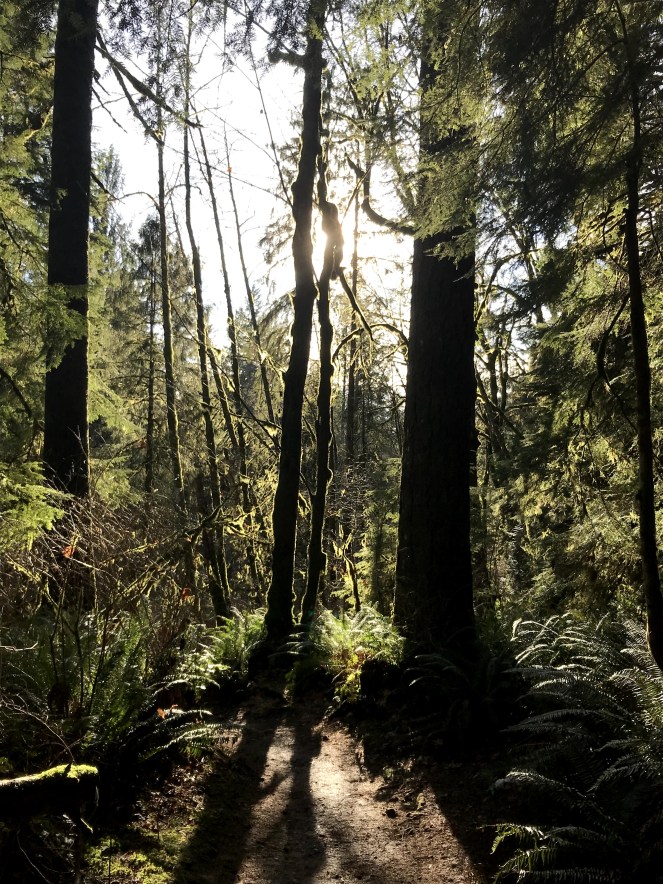
The trail is well used, and therefore in good condition. It has been raining lately, are we surprised it is January in the Pacific Northwest?! The path was muddy, at times water was running on it. It was not slippery, nor was it off-putting. The weather was beautiful and I wore too many layers, so near the beginning I took some off, realising later on that I didn’t have my woolly hat 😦


Just before a mile, a sign post appears letting you know which direction you want to take, we veered to the right which takes you through trees which are so green at the moment. This trail is less travelled, most choosing to stay on the main Mount Si trail. We passed about 6 people for the entire time we were on it. This path gently slopes upwards, and is easy to follow. We came to a split in the trail, with a sign post saying “Roaring Creek Trail”. I have a GPS tracker on my phone, so we had a look to see where this goes, how long it is, and if we can get back to where our car is. On the tracker it was labelled as Lower Teneriffe Connector, and we could see that it loops back onto the Talus Loop and just at the right point to hit the views!


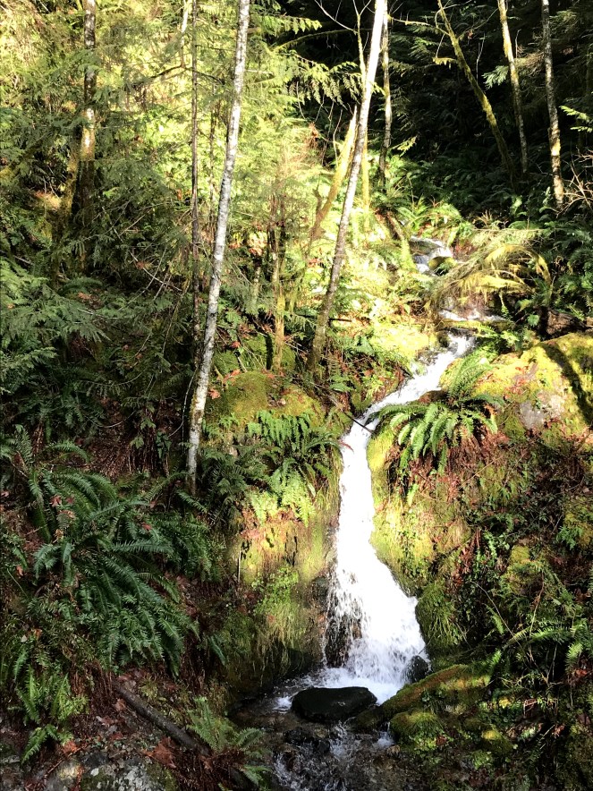
Walking this new path, which neither of us have done before we discovered a bridge which goes over a small river coming out of a waterfall.


We realised that we had been walking down hill since we joined this path, and that only means one thing! We had to head back upwards. This was not a problem though, the upwards was actually easy.


We re-joined the Talus Loop, unfortunately we didn’t miss the switchbacks 🙂 Heading up those I began to get excited. It was a warm, clear, beautiful day so the views would be amazing. Plus we could eat some food!
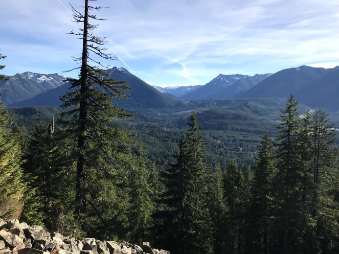
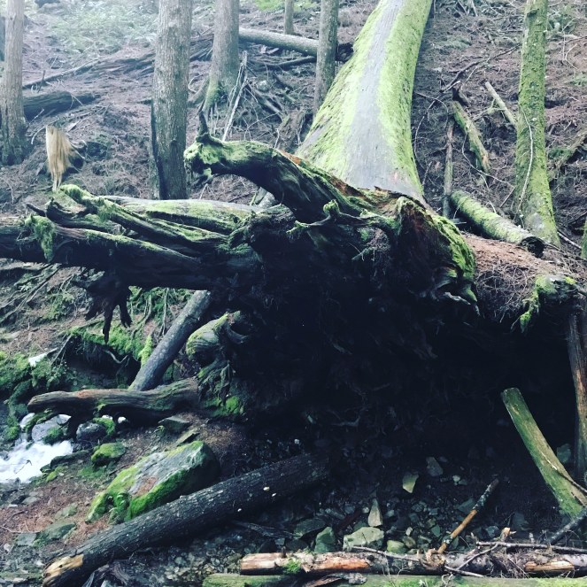
Stopping to look at the views is the mid-way point, after that it is the way back down. We discovered the tree roots which I love, and then walked back along the trail until we joined back to the Mount Si trail.
We found my missing hat!! Someone had kindly picked it up and placed it on a rock.

We had a beautiful hike, and were now looking forward to heading to the airport to pick up my friends who were arriving from the UK, but they had been in New York and Toronto before heading to Seattle.